Cross-Country March Using Topographic Signs
Translation details
Model:mistral-large-2512.Translated text
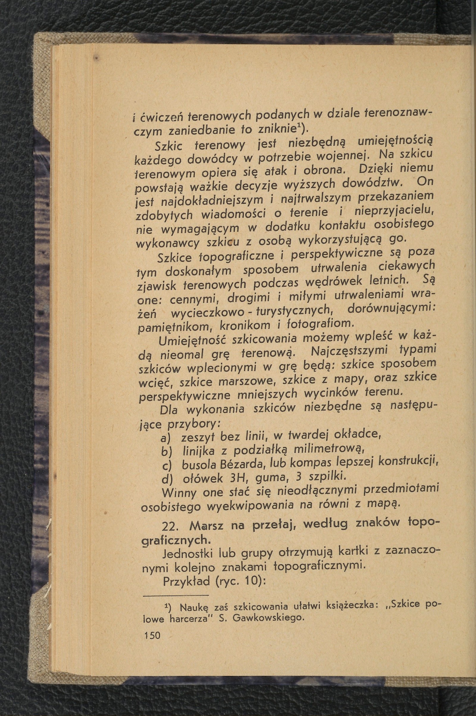
Section titled “Translated text”Units or groups receive sheets marked with topographic signs in sequence.
Example (fig. 10):
¹) The booklet Field Sketches for Scouts by S. Gawkowski will facilitate learning sketching.
Fig. 10.
Starting point — Małka mill, then — bridge over the stream, roadside cross. From there, go northeast to a solitary wild pear tree and finally to the forester’s lodge. From the forester’s lodge south to the edge of the small woods, where the assembly point is marked with a small cross.
Possible approaches for patrols: a) send them out one after another along the same route; b) guide them to the same assembly point using different terrain signs; c) arrange routes so that all patrols return to the starting point (the instructor may prepare another game in the meantime).
Before departure, everyone copies the given signs (we score their execution).
At a more advanced level of this game, we may require the completion of a sketch of a section or the entire route traveled.
In all cases of our presence in the field with youth over the age of 15, we will continuously practice orientation using a map at any moment, whether on the march or during rest: a) by lines, b) by 2 points, c) by compass or sighting compass.
This will be conducted in the form of competitions between units as well as between groups. Orientation should be part of directional march games.
Orientation and map reading alone are not sufficient. A common flaw is the youth’s tendency to look only “as far as their own nose.” A boy may point to the bridge he is standing on or the road he must turn onto on the map. However, he cannot name the village lying a few kilometers off the road. It is difficult for him to locate a distant, visible grove on the map. We must teach youth to observe the surrounding terrain broadly. This will be achieved by: a) constantly drawing attention to distant terrain features, b) requiring them to indicate these on the map, c) searching for distant topographic elements seen on the map in the terrain.
Exercises related to terrain formation should not be forgotten. Youth should be able to read terrain relief well.
For this purpose, triangulation and intermediate points should be frequently used. They should be compelled to march via the highest points, and more importantly, to choose hidden routes leading through valleys, depressions, saddles, etc., along the lowest lines of the terrain.
This skill will be acquired if we frequently practice reading relief through contour lines, requiring: a) determining the height of one’s own position, b) calculating the ascent or descent of the road between two points, c) finding places hidden from observation and potential fire.
Elements of these exercises should be included in the above-mentioned games as a special task or applied in games of another type.
To conclude this section, I present a larger terrain game as an example.
Source scan: Polona / National Library, marked “Public Domain.” View scan — image 158.
Metadata
Section titled “Metadata”- Type: game
- Traits: Not stated in the source
- Source: Jan Jasiński, Gry i ćwiczenia terenowe (Harce terenowe) (1938)
- Printed pages: 150–153
- Digital edition: Digital edition · Source record
- Open the edition at the relevant page: p. 150
- Read the source text: gct-088