On the March Along the Road
Translation details
Model:mistral-large-2512.Translated text
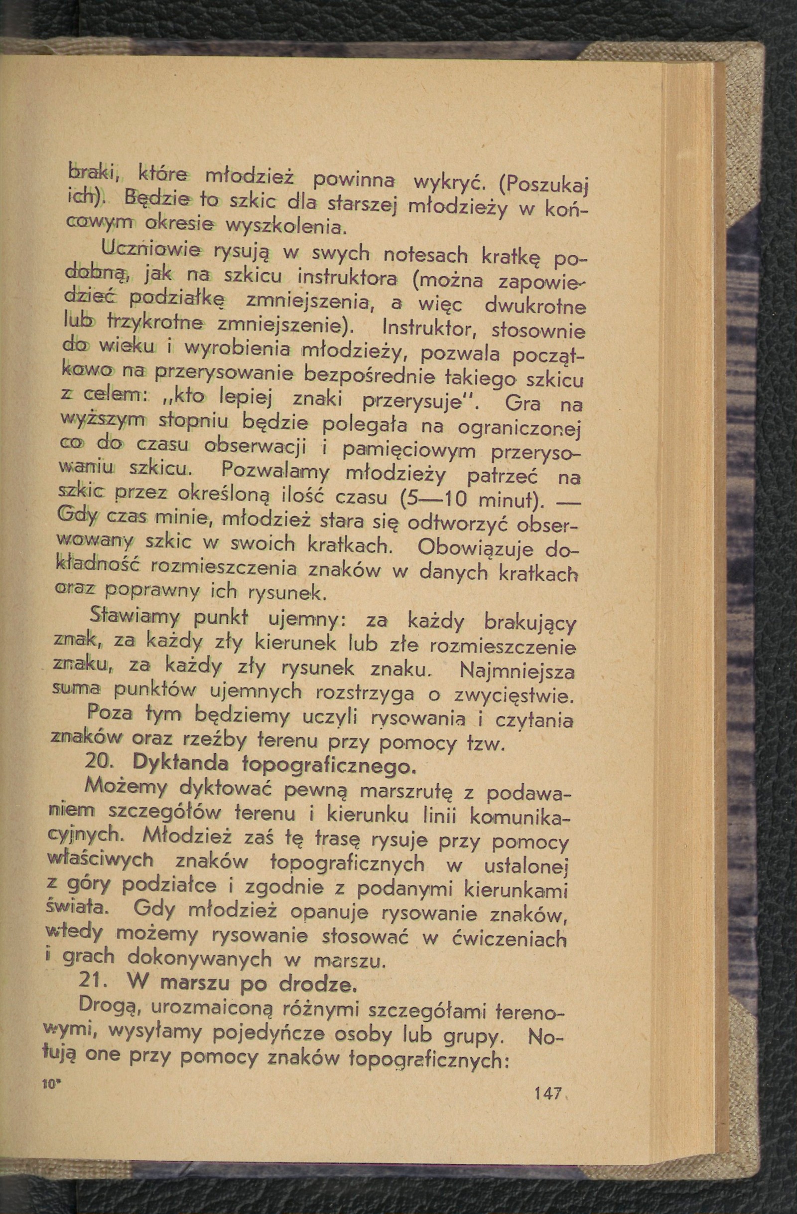
Section titled “Translated text”Along a road varied with different terrain features, we send out individuals or groups. They record using topographic symbols:
Fig. 9.
A) terrain objects, B) type of terrain, C) terrain relief, D) the road itself at a certain scale, and finally, it is possible to produce
E) a proper sketch along the road.
With the youngest and least experienced, we begin with notes or a topographic drawing of individual objects (chapel, house, small bridge, brickworks), without marking their locations on the road or in the terrain.
We will pay attention to the fact of noting all terrain objects and their accurate depiction.
From the more experienced, we will require the indication of the type of terrain (forest, meadow, field, swamp, garden) and marking its extent, along with the ability to record the terrain’s shape.
With the skilled, we will produce a correct sketch along the road, complete with an attached legend.
Everywhere, we will demand a neat and precise written report (see the chapter “Patrolling and Reconnaissance”).
The team that notes and draws all road details most accurately and correctly wins.
Sketching, as a result of the ability to draw topographic symbols and the capacity to orient oneself in the terrain, should be applied as early and as frequently as possible in field training.
Making sketches is one of the direct goals of terrain studies. It can and should be the result of any observation, tracking, reconnaissance, scouting, patrolling, and—the final conclusion of every report in higher-level games.
The matter of sketching is somewhat neglected in the fieldwork of organizations and schools. This neglect, resulting from the lack of knowledge of sketching among youth work leaders, should be corrected. I am convinced that through the application of terrain games and exercises provided in the terrain studies section, this neglect will disappear¹).
A terrain sketch is an essential skill for every commander in wartime. Terrain sketches form the basis of attack and defense. Thanks to them, important decisions of higher commands are made. They are the most accurate and durable transmission of acquired information about the terrain and the enemy, additionally not requiring personal contact between the sketch creator and the person using it.
Topographic and perspective sketches are also an excellent way to preserve interesting terrain phenomena during summer hikes. They are: valuable, cherished, and pleasant records of excursion and tourist impressions, comparable to diaries, chronicles, and photographs.
The ability to sketch can be woven into almost every terrain game. The most common types of sketches incorporated into games will be: intersection sketches, route sketches, map sketches, and perspective sketches of smaller terrain sections.
To execute sketches, the following tools are necessary: a) a notebook without lines, with a hard cover, b) a ruler with millimeter divisions, c) a Bézard compass or a higher-quality compass, d) a pencil 3, an eraser, 3 pins.
These should become indispensable items of personal equipment, on par with a map.
Source scan: Polona / National Library, marked “Public Domain”. View scan — image 155.
Metadata
Section titled “Metadata”- Type: game
- Traits: Not stated in the source
- Source: Jan Jasiński, Gry i ćwiczenia terenowe (Harce terenowe) (1938)
- Printed pages: 147–150
- Digital edition: Digital edition · Source record
- Open the edition at the relevant page: p. 147
- Read the source text: gct-087