Defense of Ports
Translation details
Model:mistral-large-2512.Translated text
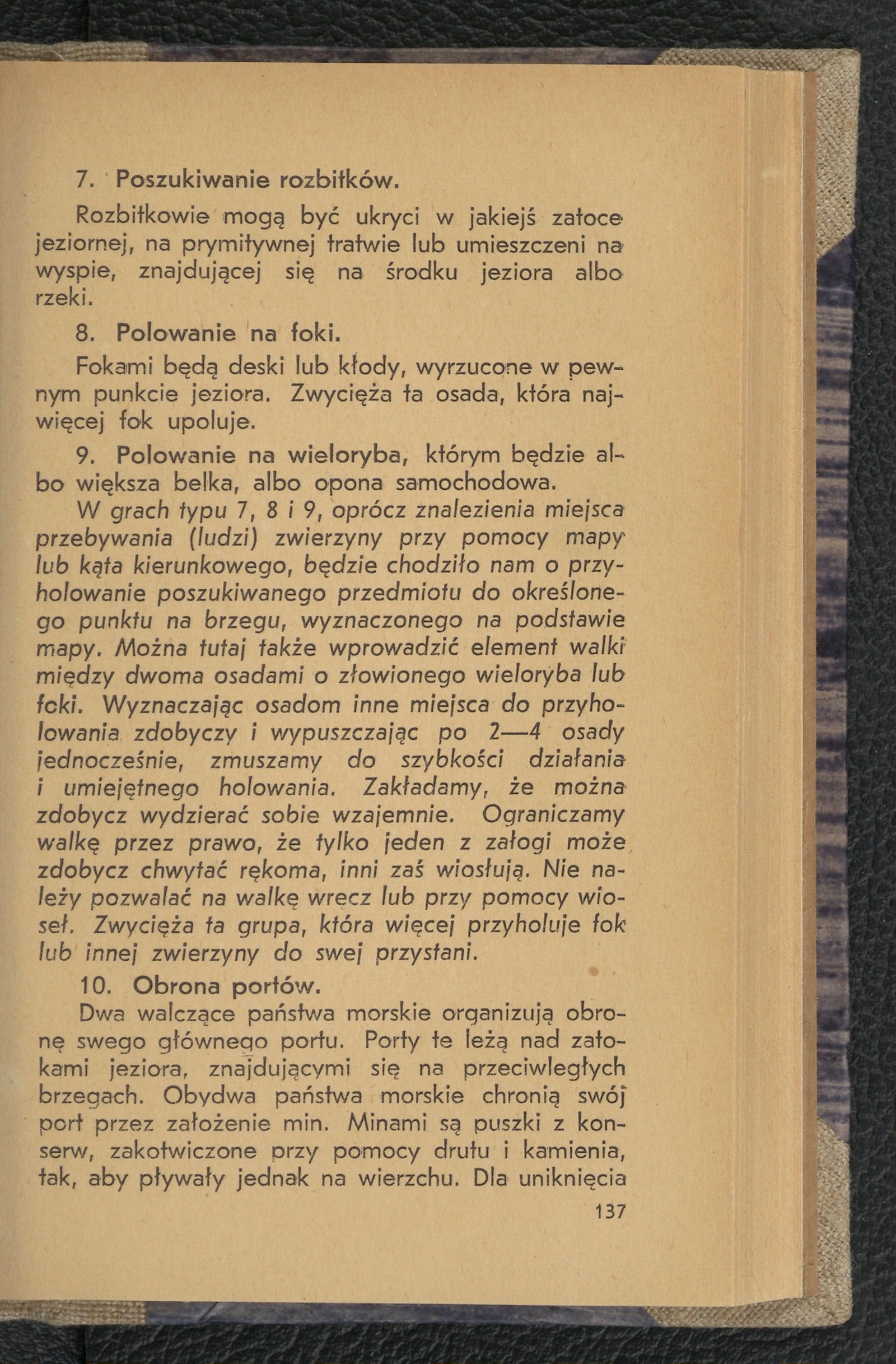
Section titled “Translated text”Two warring maritime states organize the defense of their main port. These ports lie on bays of a lake, situated on opposite shores. Both maritime states protect their port by laying mines. The mines are tin cans filled with preserves, anchored with wire and a stone so that they float on the surface. To avoid misunderstandings, they should bear special markings. Their quantity is predetermined. Taking a fixed point on land as the starting base, the position of the mines is determined by a directional angle and distance in meters. Each maritime state possesses a mine-laying vessel (a kayak), which is hidden somewhere along the shore in reeds or thickets.
Both warring groups also possess a flotilla composed of any number of: kayaks, boats, sailboats, etc. These are stationed in their own ports.
At a specified hour, the fleet commanders receive from their spies (by opening sealed envelopes) information about the location of the mine-laying vessel. This information may also be transmitted via: semaphore signaling, received by telephone or telegraph, encrypted, etc. The position of the mine-layer is determined based on map 1: 100000 or plan 1: 25000, or from a sketch enclosed in the envelope.
The fleets set out from their ports with the aim of destroying the mine-layer. On the mine-layer (kayak), they obtain reports about the positions (determined by directional angles) of the mines in the enemy port’s bay. Based on the found reports, they locate the fixed point on land that serves as the base for the directional angles. The fleet commander organizes the destruction of the mines through their flotilla, assigning each kayak one or two (depending on the number of mines and kayaks) directions in which the mines are located. The state that: 1) brings back all the mines or the greater part of them, 2) arrives with its entire flotilla more quickly at the designated location, wins (captures the port). This location should be equidistant from both ports.
Directional games can also be applied on snow and skis, for example:
Source scan: Polona / National Library, marked “Public Domain”. View scan — image 145.
Metadata
Section titled “Metadata”- Type: game
- Traits: Not stated in the source
- Source: Jan Jasiński, Gry i ćwiczenia terenowe (Harce terenowe) (1938)
- Printed pages: 137–138
- Digital edition: Digital edition · Source record
- Open the edition at the relevant page: p. 137
- Read the source text: gct-076