Tracking Trails
Translation details
Model:mistral-large-2512.Translated text
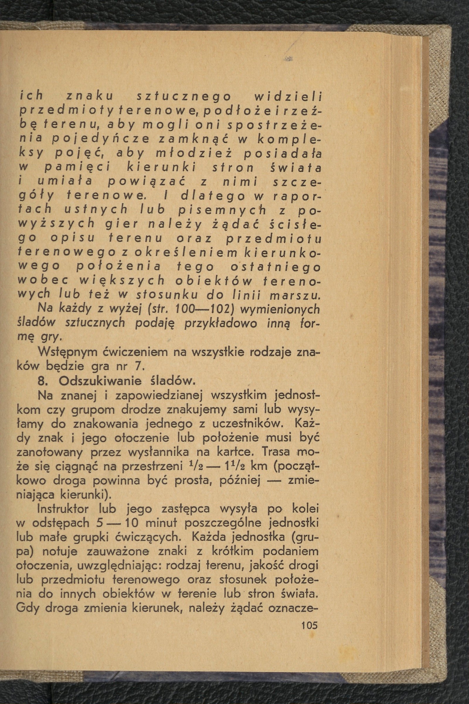
Section titled “Translated text”On a known and announced route for all units or groups, we mark the path ourselves or send one of the participants to do the marking. Every sign and its surroundings or location must be noted by the messenger on a piece of paper. The route may extend over a distance of half — 1 half kilometers (initially, the path should be straight, later changing directions).
The instructor or their deputy sends out individual units or small groups of participants in succession, at intervals of 5 — 10 minutes. Each unit (group) notes the observed signs with a brief description of the surroundings, taking into account: the type of terrain, the quality of the path or terrain object, and the sign’s position relative to other objects in the terrain or cardinal directions. When the path changes direction, the direction should be marked according to the cardinal points. Comparing the notes provides insight not only into the ability to find signs but, more importantly, into the knowledge of the terrain itself. In assessing priority, the description of the terrain is decisive, as finding the sign will usually be accomplished by all participants.
Tracking games conducted on a route can be organized in two ways: on a single route or multiple routes. In the case of a single route, we achieve absolute fairness in evaluation due to the uniformity of the route and signs, as well as the same length of the route. The disadvantage of a single route is the significant time lost in sending all patrols (there are often 4—6 of them) through the route in succession, at intervals of 10—15 minutes. This system will be used: when there are 2 or 3 patrols, in the case of absolute competitions between all patrols (treated as a test of observation skills), or when more time is available.
However, where time is limited, where a low-stakes competition suffices, and where there are more patrols, we will use 2—4 routes simultaneously, striving to ensure: that their length is as equal as possible and that the number of signs placed is the same. We can set up a maximum of as many routes as there are patrols (if the terrain and starting point allow), selecting two more responsible participants from each patrol to send out to lay and mark the signs. They must be given consistent, clear, and comprehensive instructions. The patrols follow the route laid out by members of other patrols.
Source scan: Polona / National Library, marked “Public Domain”. View scan — image 113.
Metadata
Section titled “Metadata”- Type: game
- Traits: Not stated in the source
- Source: Jan Jasiński, Gry i ćwiczenia terenowe (Harce terenowe) (1938)
- Printed pages: 105–106
- Digital edition: Digital edition · Source record
- Open the edition at the relevant page: p. 105
- Read the source text: gct-037