Map Reading
Translation details
Model:mistral-large-2512.Translated text
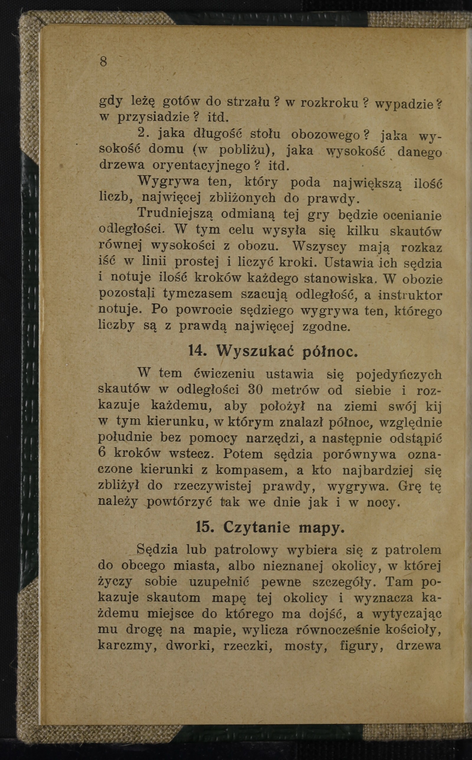
Section titled “Translated text”A judge or patrol leader takes the patrol to a foreign town or an unfamiliar area where they wish to gather certain details. There, they show the scouts a map of the area and assign each one a destination to reach. While outlining the route on the map, they simultaneously list churches, taverns, manor houses, streams, bridges, statues, distinctive (orientation) trees, and other features that the scout should encounter and observe along the way. Each scout is given a specific distance to cover and a certain number of points to note.
Afterward, the scouts set out, and upon their return, the instructor or patrol leader receives their reports. The winner is the one who brings back the most accurate report in the shortest time.
Source scan: Polona / National Library, marked “Public Domain”. View scan — image 20.
Metadata
Section titled “Metadata”- Type: game
- Traits: Not stated in the source
- Source: Herman A. Mojmir, Ćwiczenia i zabawy skautowe (1912)
- Printed pages: 8–9
- Digital edition: Digital edition · Source record
- Open the edition at the relevant page: p. 8
- Read the source text: ciz-015