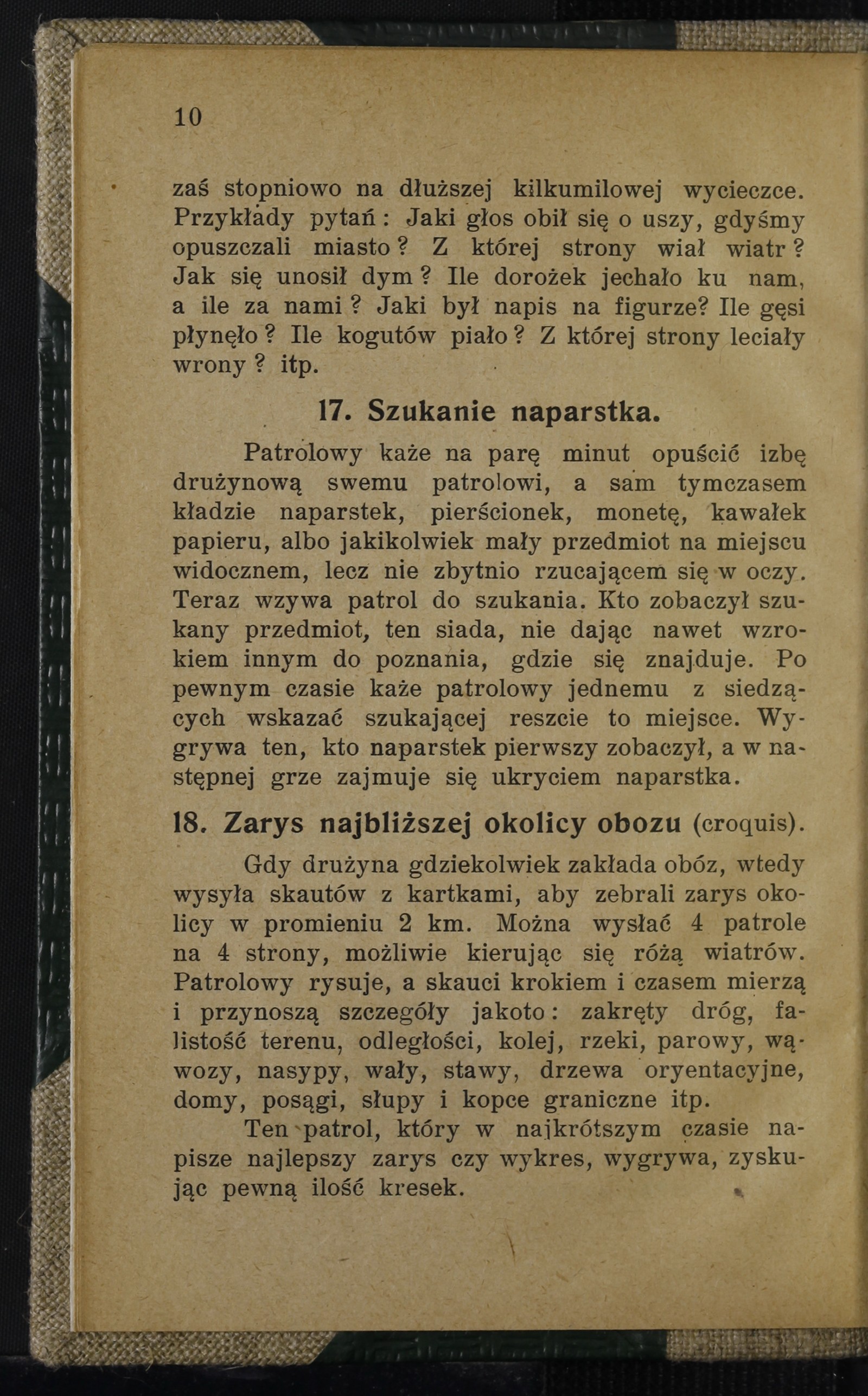
Outline of the Immediate Camp Vicinity (Croquis)
Automatic translation. This text has not been verified by a person.
Translation details
Model:mistral-large-2512.Translated text
Section titled “Translated text”When a troop establishes a camp anywhere, it dispatches scouts with notebooks to gather an outline of the surrounding area within a radius of 2 kilometers. It is possible to send 4 patrols in 4 directions, ideally guided by the compass rose. The patrol leader sketches, while the scouts measure distances by pacing and time, and bring back details such as: road bends, terrain undulations, distances, railways, rivers, ravines, gullies, embankments, dikes, ponds, landmark trees, houses, statues, boundary posts, and mounds.
The patrol that produces the best outline or chart in the shortest time wins, earning a certain number of marks.
Source scan: Polona / National Library, marked “Public Domain”. View scan — image 22.
Metadata
Section titled “Metadata”- Type: game
- Traits: Not stated in the source
- Source: Herman A. Mojmir, Ćwiczenia i zabawy skautowe (1912)
- Printed pages: 10–11
- Digital edition: Digital edition · Source record
- Open the edition at the relevant page: p. 10
- Read the source text: ciz-018